[Coloring Pages]

[Crafts for Kids]

[Custom Printables] [DLTK Teach]

[Sunday School]

<BACK

Alberta Index
Geography Index

NEXT>

Alberta Scenery Photo Tour

photo by
Leanne Guenther

This photo was
taken on a cloudy
day in early June.

Photo:  Colin Range of the Rocky Mountains

The Canadian Rockies comprise the Canadian segment of the North American Rocky Mountains (which continues south into the United States).  The Rockies run along the Western border of Alberta, separating the province from its neighbour British Columbia.

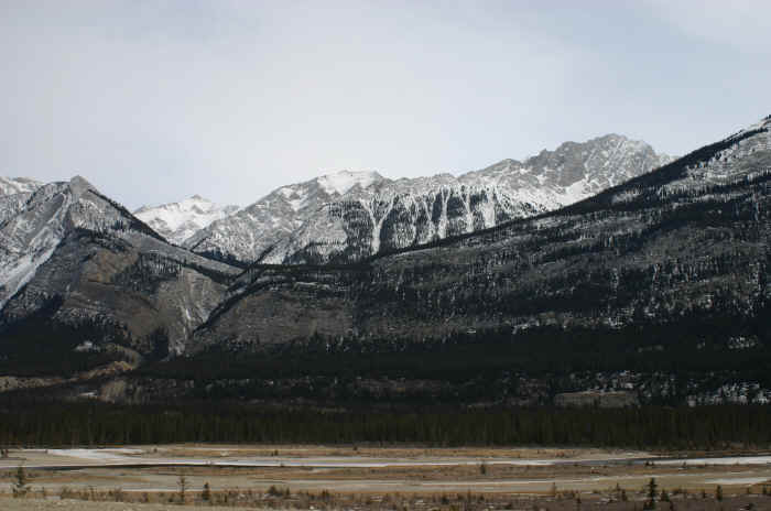
This photo is of the "Colin Range" of the Rocky Mountains in Jasper National Park, Alberta.   A mountain range is a group of mountains bordered by lowlands. Mountain ranges are usually separated from other mountain ranges by passes and rivers.  The Canadian Rockies are divided into over 30 different mountain ranges. 

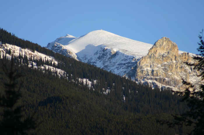
Jasper National Park is the largest of Canada's Rocky Mountain Parks and part of the UNESCO World Heritage Site. Jasper spans 10,878 square kilometres (4200 square miles) along the eastern slopes of the Rockies in western Alberta.

Rocky Mountains information and coloring page


photo by
Leanne Guenther
And here's another photo of the Rocky Mountains in Alberta taken on a sunny winter day.
red rock canyon, waterton national park

photo by
Leanne Guenther

I did not photoshop
or edit the colors in
any way.  This is
what it looks like
on a nice sunny
summer day!

And here's one further south in Waterton National Park.   Yes, weekend trips to the mountains is one of our favorite passtimes!


HOME ABOUT US SEARCH
 
Preschool Kindergarten Grade One Grade Two Grade Three Grade Four
 
Geography Language Arts Lesson Plans Math Science Theme Units


(bibliography)     (copyright policy)     (links)     (print help)    (privacy policy)  

Copyright © 1998-2011 DLTK's Sites - All Rights Reserved